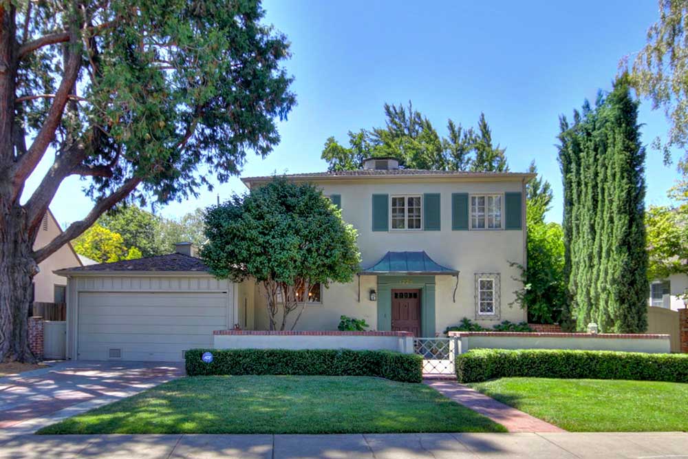
One of the most desirable areas in Sacramento, Land Park is bordered on the north by the Tower District (Broadway), on the west by the Sacramento River, on the east by Crocker Village.
The majority of homes in Old Land Park were built in the 1940’s. The architectural style varies from Spanish to Tudor, from Mediterranean to Contemporary. A vast majority of the Land Park homes have been remodeled over the years. Dumpsters and workmen are a fairly common site as homes are continually upgraded. Lot sizes vary from .10 of an acre to over .25 of an acre, with homes having a range of 800 square feet to over 3000 square feet. The more modest size homes are in Homeland (at the north end of Land Park) and most of the larger homes are in College Tract (at the south end).
Land Park’s retail stores generally remain only on main thoroughfares – Riverside Boulevard, Freeport Boulevard and Broadway. Favorite Land Park hangouts are Vic’s Ice Cream, Taylor’s Market, Freeport Bakery, Riverside Clubhouse and Tower Cafe. Freeways are an easy access from Broadway or Riverside Boulevard.
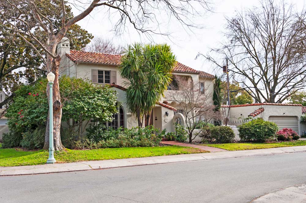
Curtis Park advocates will resoundingly tell you there is no other place to live! Curtis Park is bordered on the north by Broadway, on the west by Crocker Village and Land Park, on the east by Highway 99 and on the south by Sutterville Road.
The homes in Curtis Park boast their beginnings as early as 1910’s. You can appreciate the beautiful California Highwater Bungalows, the Tudors and the Craftsman style homes. As with all of the older neighborhoods, Curtis Park homes are continually being remodeled and upgraded. The majority of the lots are from .10 of an acre to .20 of an acre. Homes vary in size from 800 square feet to over 3000 square feet. The central attraction is Curtis Park with many of the larger homes facing this beautiful landscape.
The limited number of Cutis Park retail stores are at the north an east ends of the Curtis Park neighborhood. Gunter’s Ice Cream, Pangaea and Hop Garden are favorites of the locals.
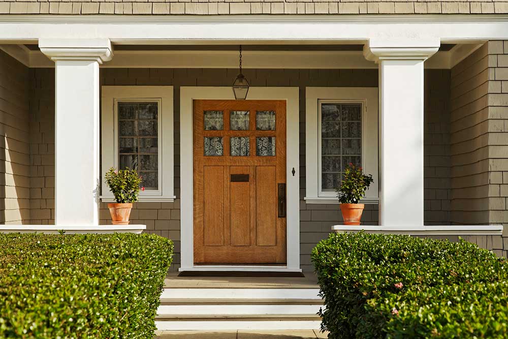
Probably one of the most prestigious of Sacramento neighborhoods, East Sacramento is well known for its “Fab Forties” and McKinley Park. The “Fab Forties” is an area bordered by Folsom Blvd, J Street, 38th Street and 47th Street.
East Sacramento is bordered by Capitol City Freeway to the west, the American River to the north and east, and Highway 50 to the south.
Most homes in East Sacramento were built from the 1910’s to the 1940’s and have been loved and improved upon ever since. Spanish, Tudor, Mediterranean and Craftsman style homes can all be found here in abundance. Lots can range from .12 of an acre to more than a third of an acre. The more modest homes average approximately 1200 square feet, but it isn’t unusual to find some homes with as much as 3500 square feet or more.
Many wonderful retail stores and restaurants are interspursed throughout the East Sacramento neighborhood, with too many to name here. You will just have to cruise the neighborhood and find your own favorites!
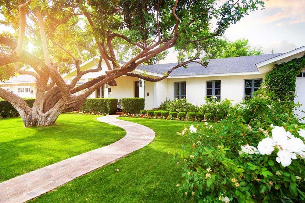
If you listen closely, and the weather is perfect, you can hear the roar of the lions or the howl of the Gibbon monkeys at the Sacramento Zoo. South Land Park Terrace is south of the Sacramento Zoo and William Land Park. South Land Park Hills welcomes you beginning at Fruitridge Road and ending at Florin Road. Beginning at Sutterville Road, its main artery is meandering South Land Park Drive.
Beautifully built custom homes on nice-sized lots are common features of this hill laden neighborhood. Architecturally, ranch homes were the fashion of the 1950 era and South Land Park is no exception.
South Land Park Terrace is the “landing spot” for many homeowners who have made this their lifelong neighborhood. For this reason, homes seldom are put on the market and usually are able to command a respectable price.
Homeowners can enjoy quality custom construction, lifelong neighbors and beautiful landscaping in this well established Sacramento neighborhood. As a “perk” much of this neighborhood is out of the flood plain!
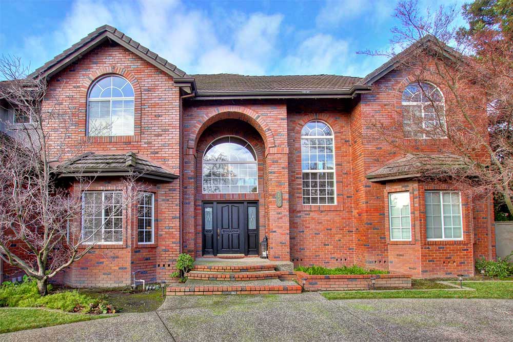
Developed in the 1960’s from rural farmland, Greenhaven stretches from Riverside Boulevard off of Interstate 5 to Florin Road, between Freeport Boulevard and Interestate 5, with a little give and take from the South Land Park Hills and Pocket neigbhorhoods. Its shining features are a greenbelt between Greenhaven Drive and Havenside Drive and Lake Greenhaven.
Homes in this neighborhood enjoy not only ranch style homes, but contemporary and custom homes as well. Many enjoy lake front property and some even back up to the Sacramento River. Streets are wide and meandering. Enjoy the Delta breezes in this classic 1960’s neighborhood.
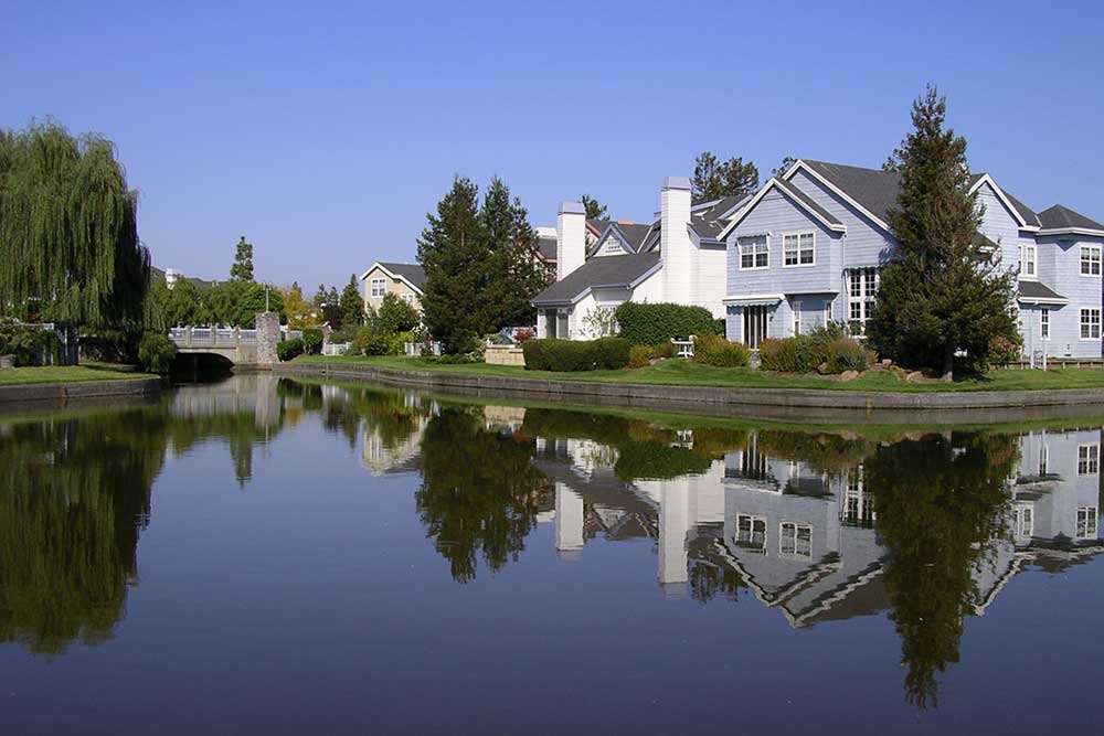
It is evident when looking at a map, how this neighborhood got its name. The western boundary follows the Sacramento River in a “pocket” shape. Its other boundaries are Pocket Road to the south, Freeport Boulevard to the east and Interstate 5 to the north.
Prior to the present day appearance, this expansive neighborhood was once farmland and a dairy. Several streets still retain the reference to its earlier namesakes. The Pocket neighborhood began its development in the late 1970’s and was fairly complete by the early 1990’s. There are still a few vacant lots, but they are few and far between.
The Pocket neighborhood contains wonderful features such as a large lake, a canal system with jogging paths enjoyed by bikers and runners alike, and shopping at some of the most popular stores.


0 Comments
Leave a comment